REAL PROJECT · OSLO, NORWAY
Frøen Hage: drone footage to a 3D Gaussian Splat.
An existing neighborhood reconstructed for architectural visualization, using overlapping drone recordings and an FBX reference of the buildings.
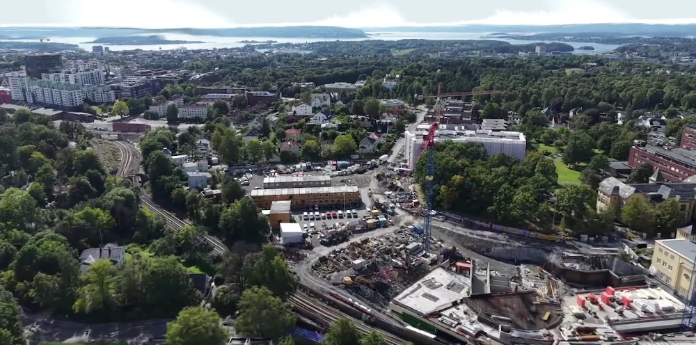
The goal: keep the surrounding site
The project needed a visual reconstruction of existing buildings and landscape around an architectural project. Keeping the wider surroundings was important, so cropping and distance clipping were not applied to the reconstruction.
Six overlapping drone recordings
The documented multi-video reconstruction used six recordings around the same area, with 80 frames selected from each video. Camera estimation registered all 480 selected frames in that run. The resulting Gaussian Splat could be explored from different viewpoints instead of following only the original flight path.
These figures describe this project, not a required recording recipe or a guaranteed success rate. Coverage, sharpness and the scene itself affect the result.
Alignment to existing buildings
An FBX reference of the existing buildings provided the target for scale, rotation and placement. Corresponding points in the splat and reference were used to align the scene, followed by a separate adjusted PLY export. The alignment did not require another reconstruction.
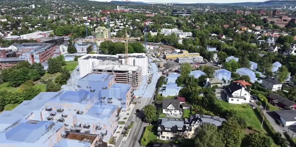
What to take from the example
Overlapping views from several flight paths can contribute to one model, and reference alignment connects the finished scene to an architectural workflow. Fine vegetation and some small details remain softer than the original footage; a visual reconstruction is not an editable building model or an independently verified survey.
Try the workflow with your own footage
Read the capture and export guide, follow the generation workflow or compare Free, Starter and Pro.